The Burren is a unique karst-landscape region in northwest County Clare, in Ireland and one of the largest Karst landscapes in Europe. The region measures approximately 250 square kilometres and is enclosed roughly within the circle comprised by the villages Ballyvaughan, Kinvara, Tubber, Corofin, Kilfenora and Lisdoonvarna, It is bounded by the Atlantic and Galway Bay on the west and north respectively. Strictly speaking the territory of the Burren or barony of Burren only contains the villages of Lisdoonvarna, Ballyvaughan, Fanore, Craggagh, New Quay/Burrin, Bealaclugga (Bellharbour) and Carron.
The definite article (making it "the Burren") has only been added to the name in the last few decades, possibly by academics, as it had always been called Boireann in Irish and Burren in English.[citation needed]
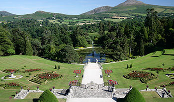
Burren is rich with historical and archeological sites. There are more than 90 megalithic tombs in the area, portal dolmens (including Poulnabrone dolmen), a celtic high cross in the village of Kilfenora, and a number of ring forts - among them the triple ring fort Cahercommaun on the edge of an inland cliff, and the exceptionally well-preserved Caherconnell Stone Fort. Corcomroe Abbey is one of the area's main scenic attractions.
The territory of Burren was also called Corco Modhruadh Oirthearach. The Burren was ruled by the Ó Lochlainn clan, who styled themselves Kings of Burren, up until the upheavals of the mid 1600s. The present day descendant of the last chief of the Ó Lochlainn clan resides in Ballyvaughan. Grikes and clints run along the limestone pavement.
During counter guerilla operations in Burren in 1651-52, Ludlow stated "It is a country where there is not enough water to drown a man, wood enough to hang one, nor earth enough to bury him...... and yet their cattle are very fat; for the grass growing in turfs of earth, of two or three foot square, that lie between the rocks, which are of limestone, is very sweet and nourishing".
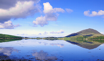
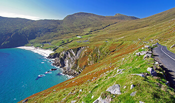
The rolling hills of Burren are composed of limestone pavements with crisscrossing cracks known as "grikes", leaving isolated rocks called "clints". The region supports Arctic, Mediterranean and Alpine plants side-by-side, due to the unusual environment. The blue flower of the Spring Gentian, an Alpine plant, is used as a symbol for the area by the tourist board. Burren's many limestone cliffs, particularly the sea-cliffs at Ailladie, near Fanore, are popular with rock-climbers. For potholers, there are a number of charted caves in the area. Doolin is a popular "base camp" for cavers, and is home to one of the two main cave-rescue stores of the Irish Cave Rescue Organisation.
The definitive guides to the caves of the Burren have been published by the University of Bristol Spelæological Society.
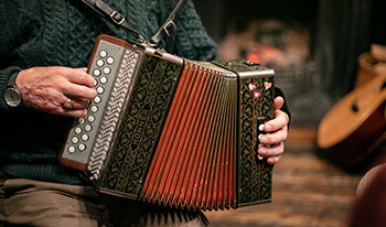
The area is also known for its long history of Traditional Irish Music. The "West Clare Style" of concertina playing performed by masters such as Chris Droney (Bealaclugga) and the music festival in Doolin are a draw for musicians from all over the world.
Tours featuring this attraction
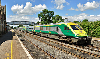
8 Night Best of Ireland by rail
(8 Nights)
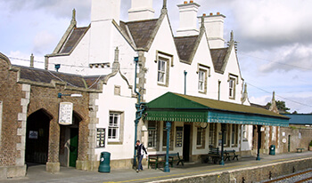
10 Night Best of Ireland by rail
(10 Nights)
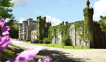
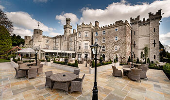
Ireland Highlights - 7 Night Irish Castles and Manors Silver Package
(7 Nights)
Ireland Highlights - 8 Night Irish Castles and Manors Silver Package
(8 Nights)
Ireland Highlights - 10 Night Irish Castles and Manors Silver Package
(10 Nights)
Ireland Highlights - 7 Night Irish Castles and Manors Gold Package
(7 Nights)
Ireland Highlights - 10 Night Irish Castles and Manors Gold Package
(10 Nights)
Ireland Highlights - 8 Night Irish Gold Castles & Manors Package
(8 Nights)
Ireland Highlights - 10 Night Irish Castles and Manors Platinum Package
(10 Nights)
Ireland Highlights - 7 Night Irish Castles & Manors Platinum Package
(7 Nights)
Best of Ireland Tour (10 Night)
(10 Nights)

Best of Ireland Tour (8 Night)
(8 Nights)
Best of Ireland Tour (12 Night)
(12 Nights)
Best of Ireland Tour (14 Night)
(14 Nights)
The Best of Ireland Tour - 7 Nights
(7 Nights)
Irish Pub & Folk Tour (12 Night)
(12 Nights)
Irish Pub & Folk Tour (14 Night)
(14 Nights)
Irish Pubs & Folklore 10 Nights
(10 Nights)

Irish Pub and Folk Tour (7 Night)
(7 Nights)
Irish Pub and Folk Tour (6 Night)
(6 Nights)
Peace of Mind Guarantee
Your trip, worry free!Our Ireland based team is on call throughout your vacation!
